

Transport and Infrastructure
Reid Highway Grade Separation Project
Design Management · Value Engineering · 3D and BIM Modelling
Perth, WA
Client: Georgiou / BG&E Pty Ltd
Services
A broad discipline focused on providing design services across the life cycle of a project. It covers the planning, design and construction support of transport infrastructure projects across road, rail and energy sectors.
What we do
From road layouts and intersections to drainage, barriers and temporary works, our civil design treats constructability as a key driver, so solutions are practical to build.
How we approach it
We start with the finished project and work back, testing every option against constructability, delivery program and operations before it reaches the drawing board.
01
Before we draw a line, we agree what the project has to achieve for the client, stakeholders and community. The design is then built to deliver that result, rather than the design deciding the outcome.
02
We ask the hard questions at concept stage. Does it suit construction, procurement and the delivery program? Does it respect Indigenous heritage? Does it support a sustainable outcome?
03
Constructability is designed in, not checked at the end. Staging, existing assets, utilities and construction access are considered from the first concept.
In practice
On the Tonkin Highway Grade Separation tender bid, Hyperon replaced a skewed bridge with a straight one and optimised the shared path to use the existing highway footprint.
At 985 Plenty Road, South Morang, stormwater was redirected beneath the proposed footpath. That avoided changes to an APA gas main and Yarra Valley Water lines that would otherwise have been relocated.
On North East Link, freeway ramps were designed for a posted speed under 80 km/h, and an intersection was reconfigured to reduce cut and fill, supported by 3D swept paths and truck stability analysis.
Standards and tools
Austroads guidelines and interstate guidance, Victorian Department of Transport and Planning (DTP) standards, TfNSW requirements and Melbourne Water standards for flood work.
12d, AutoCAD, MicroStation, OpenRoads, Navisworks and Bluebeam, with 3D utility and services modelling and space proofing to resolve clashes before construction.
In practice
Transport and Infrastructure
Design Management · Value Engineering · 3D and BIM Modelling
Perth, WA
Client: Georgiou / BG&E Pty Ltd

Transport and Infrastructure
Concept Design · Detailed Design · Flood Modelling
Victoria
Client: M80 Ring Road Alliance (Acciona and MACA)
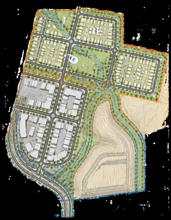
Land Development
Detailed Design · Drainage Design · Pavement Design
South Morang, Victoria
Client: Kanton Group